Due to the recent changes by the Trump administration regarding the collection of duties for small packages, we currently no longer ship to the United States. If you have shipping questions, please call 250-877-7744
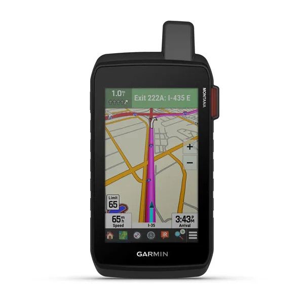
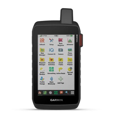
Garmin Montana 710i Rugged GPS Touchscreen Navigator with inReach Satellite Communicator (010-02964-00)
$1 159.99
Sold out
The Montana 710i handheld GPS is your ultimate tool for outdoor navigation, whether you’re trekking rugged trails, paddling open waters, or exploring off-road paths.
Sold out
Product Details
UPC: 753759336882
Brand: Garmin
|
The Montana 710i handheld GPS is your ultimate tool for outdoor navigation, whether you’re trekking rugged trails, paddling open waters, or exploring off-road paths. Its 5-inch glove-friendly touchscreen and preloaded topographic maps make it easy to visualize terrain contours, elevations, and landmarks. With advanced features like routable mapping, high-resolution satellite imagery, and compatibility with Outdoor Maps+ for premium content (subscription required), the Montana 710i ensures you're always prepared for the journey ahead. Built to military-grade standards (MIL-STD 810), this durable device withstands extreme conditions, while robust mounting options (sold separately) provide versatility for any adventure. With inReach global satellite communication capabilities (active subscription required), the Montana 710i keeps you connected even in the most remote locations. Send messages, share your location, and trigger an interactive SOS to a 24/7 global coordination center through the Iridium satellite network. Pair the device with the Garmin Explore™ app to plan and manage trips, review waypoints, and track your progress seamlessly. Whether navigating unfamiliar trails or venturing off-grid, the Montana 710i combines rugged reliability and cutting-edge technology to keep you safe, connected, and on track during every adventure.
GLOBAL CONNECTIVITY With an active inReach subscription, you can stay connected even when your adventures go off grid. Instead of relying on cellphone coverage, now your messages, SOS and tracking are transferred via the 100% global Iridium® satellite network. RUGGED BY DESIGN This durable, water-resistant handheld is tested to meet MIL-STD 810 for thermal, shock, water and vibration. It features a glove-friendly 5-inch touchscreen and is compatible with a variety of robust mounting solutions (sold separately) to best suit your activities. TOPOACTIVE MAPS To navigate your adventures, use preloaded worldwide topographical maps. View terrain contours, elevations, coastlines, rivers, landmarks and more. SATELLITE VIEWS Access subscription-free, high-resolution satellite imagery with direct-to-device downloads over Wi-Fi connectivity. See photorealistic overhead views of routes and surrounding terrain, and easily create waypoints based on landmarks. OUTDOOR MAPS+ Add a subscription to Outdoor Maps+ (sold separately), and get ongoing access to a wide variety of premium mapping content and regular updates sent right to your Garmin device via Wi-Fi technology. GARMIN EXPLORE APP Pair with the Garmin Explore™ app to plan and review trip data, plus manage your waypoints, courses and activities. INREACH FEATURES
NAVIGATION FEATURES
ADVENTURE FEATURES
|
Save this product for later
Garmin Montana 710i Rugged GPS Touchscreen Navigator with inReach Satellite Communicator (010-02964-00)
You May Also Like
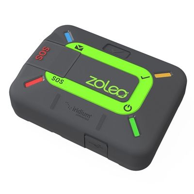
Zoleo Satellite Communicator
Zoleo Satellite Communicator
For Seamless Connectivity. Beyond Cell Coverage.
ZOLEO Enables the Connections that Matter!
$209.99
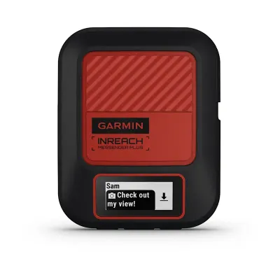
Garmin Inreach® Messenger Plus SOS Satellite Communicator
Garmin Inreach® Messenger Plus SOS Satellite Communicator
Tell them you miss them. Show them the view. Share the experience. With an active inReach subscription, the trailblazing inReach Messenger Plus SOS satellite communicator lets you exchange text, photo and voice messages.
$559.99
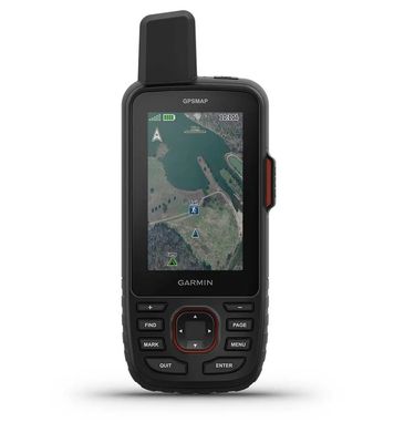
Garmin GPSMAP 67i GPS Handheld and Inreach Satellite Communicator (010-02812-00)
Garmin GPSMAP 67i GPS Handheld and Inreach Satellite Communicator (010-02812-00)
Make more time for adventure with this premium, rugged GPS handheld and satellite communicator. Get inReach technology that enables two-way messaging, interactive SOS alerts and location sharing1 plus mapping to keep you on course.
$869.99
Sold out
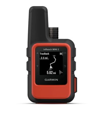
Garmin InReach Mini 2 Satellite Communicator and Worldwide GPS, Flame Red (010-02602-00)
Garmin InReach Mini 2 Satellite Communicator and Worldwide GPS, Flame Red (010-02602-00)
This compact satellite communicator helps you keep home with you when you’re off the grid — adding peace of mind to every adventure, without adding weight to your pack.
was $549.99
Save 11%
$489.99
Sold out
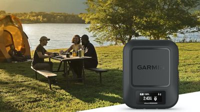
Garmin Inreach® Messenger Companion Satellite Communicator
Garmin Inreach® Messenger Companion Satellite Communicator
Never underestimate the power of an “I made it” text. The inReach Messenger refines the core features of the inReach line, into an easy to use off-grid communicator.
$439.99
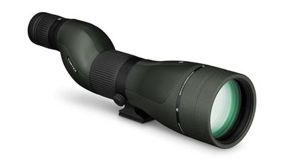
Vortex Diamondback HD Spotting Scope
Vortex Diamondback HD Spotting Scope
We wanted to develop a backcountry hunting spotter with all the advantages of an HD optical system and none of the sticker shock. With the increased objective lens diameters and updated magnification options.
$639.00

Hi Mountain Seasonings
Hi Mountain Seasonings
Hi Mountain Bottle Seasonings are made to add robust flavor to just about every food you like to cook. Though we had certain foods in mind when we made each one, lots of folks like to use them as their favorite all-purpose seasoning.
$14.00
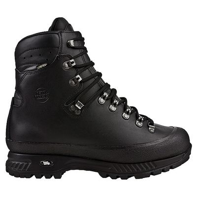
Hanwag Alaska GTX Wide Men's Hiking Boots
Hanwag Alaska GTX Wide Men's Hiking Boots
The men’s ALASKA GTX trekking boot is well-suited for heavy-pack treks.
$510.00
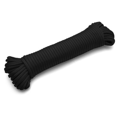
Coghlan's Paracord 50'
Coghlan's Paracord 50'
Great for survival bracelets, shelter building, gear repair, snares, traps and more, this cord is a “must have product” for campers, hunters, survivalists and backpackers.
$8.99
Display prices in:CAD
