Due to the recent changes by the Trump administration regarding the collection of duties for small packages, we currently no longer ship to the United States. If you have shipping questions, please call 250-877-7744
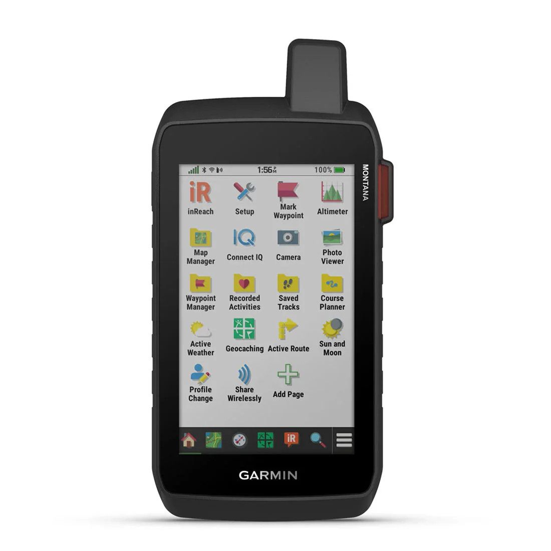
Garmin Montana 760i Rugged GPS Touchscreen Navigator with inReach Satellite Communicator (010-02964-10)
$1 319.99
Sold out
Sold out
Product Details
UPC: 753759336912
Brand: Garmin
|
The Montana 760i handheld GPS combines powerful outdoor navigation features, inReach satellite communication, and a built-in camera into a rugged, compact device. Its 5-inch glove-friendly touchscreen is paired with preloaded routable topographic maps, high-resolution satellite imagery, and Outdoor Maps+ compatibility (subscription required) for comprehensive navigation on foot, bike, kayak, ATV, and beyond. Designed to withstand extreme conditions, this water-resistant device meets MIL-STD 810 standards for thermal, shock, water, and vibration, making it the perfect companion for your most demanding adventures. With inReach satellite technology, the Montana 760i ensures you remain connected even in remote locations. Send two-way messages, share your location, and trigger 24/7 SOS alerts via the 100% global Iridium® satellite network (active subscription required). The integrated 8-megapixel camera allows you to document your adventures, automatically geotagging photos with coordinates for easy navigation back to your favorite spots. Pair the device with the Garmin Explore™ app to plan trips, manage waypoints, and review routes, ensuring you're always prepared to explore with confidence.
GLOBAL CONNECTIVITY With an active inReach subscription, you can stay connected even when your adventures go off grid. Instead of relying on cellphone coverage, now your messages, SOS and tracking are transferred via the 100% global Iridium satellite network. BUILT-IN CAMERA Capture images of your adventures with this Montana 760i device, featuring an integrated 8-megapixel autofocus camera. It geotags photos with coordinates, so you can navigate back to favorite sites in the future. RUGGED BY DESIGN This durable, water-resistant handheld is tested to meet MIL-STD 810 for thermal, shock, water and vibration. It features a glove-friendly 5-inch touchscreen and is compatible with a variety of robust mounting solutions (sold separately) to best suit your activities. TOPOACTIVE MAPS To navigate your adventures, use preloaded worldwide topographical maps. View terrain contours, elevations, coastlines, rivers, landmarks and more. SATELLITE VIEWS Access subscription-free, high-resolution satellite imagery with direct-to-device downloads over Wi-Fi connectivity. See photorealistic overhead views of routes and surrounding terrain, and easily create waypoints based on landmarks. OUTDOOR MAPS+ Add a subscription to Outdoor Maps+ (sold separately), and get ongoing access to a wide variety of premium mapping content and regular updates sent right to your Garmin device via Wi-Fi technology. INREACH FEATURES
NAVIGATION FEATURES
ADVENTURE FEATURES
|
Save this product for later
Garmin Montana 760i Rugged GPS Touchscreen Navigator with inReach Satellite Communicator (010-02964-10)
You May Also Like
Sold out

Revolution Armory Single Shot Shotgun 12 Gauge
Revolution Armory Single Shot Shotgun 12 Gauge
Revolution Armory Single Shot 12 Gauge Shotgun is perfect for the new hunter or sport shooter at an affordable price point.
$229.99
Sold out

Hoppe's Rifle Cleaning Kit
Hoppe's Rifle Cleaning Kit
Whether starting into shooting, or picking up a new caliber, a clean firearm is a happy firearm. Get started right with this kit from Hoppe's with everything you need.
$19.00

Hornady Unprimed Brass
Hornady Unprimed Brass
At Hornady, brass is the foundation for what could be the most memorable shot of your lifetime. Extra time and care is taken in the creation of our cases, producing smaller lots that meet strict quality standards.
$84.00

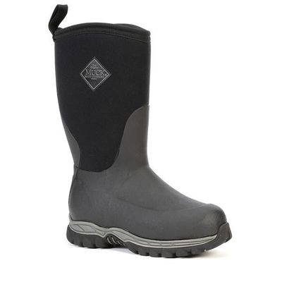
Muck Boots Kid's Rugged II Waterproof Winter Boots
Muck Boots Kid's Rugged II Waterproof Winter Boots
The Kid’s Rugged II is designed with added insulation for the utmost warmth, comfort, and durability for playing outside in the snow all day.
$130.00

Mountain Hardwear Women's Chockstone™ Warm Pant
Mountain Hardwear Women's Chockstone™ Warm Pant
This pant comes with a tally of functionality-forward features for when you need a place to carry keys on a walk to the dog park or fuel to stay recharged on cross-country tours and hikes, while keeping it incognito as a streamlined, modern style you'll wear daily.
$150.00
Display prices in:CAD

